A dedicated marine monitoring solution
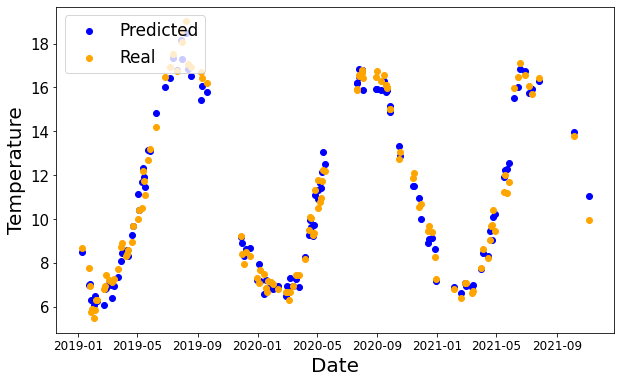
Predict heatwaves & reduce fish mortality
Act earlier when conditions begin to shift and support preventative action before extreme marine events impact operations.
Track seasonal cycles & identify interannual trends
Understand repeating patterns through the year and pick up longer-term environmental shifts that conventional monitoring may miss.
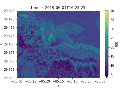
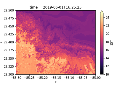
Produce salinity & temperature maps
Generate clearer spatial understanding of local conditions and how environmental variability may affect farms and wider marine systems.
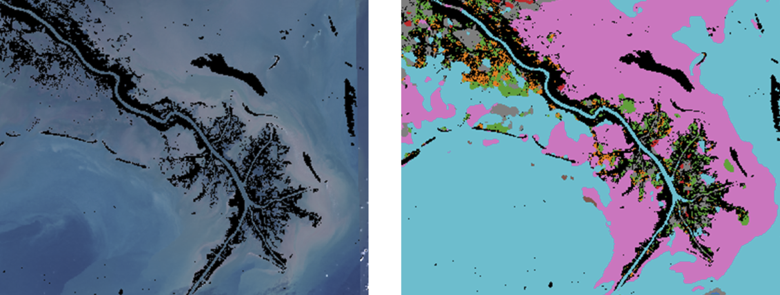
Classify water types & reduce risk
Use data-driven classification to better understand water masses, compare sites and prospect future locations with more confidence.
Let’s chat
We’d love to hear from you to explain more about the product and how it could help you.